Beginning in Minneapolis, Minnesota, and running to the Ohio River near Cairo, Illinois, 70 of the 855 miles (8 percent) of the Mississippi River are part of the St. Louis region’s port system. Nearly one-third of the river’s total freight is transported over these 70 miles, a direct reflection of the system’s efficiencies. The St. Louis region’s barge industry routinely handles approximately 369,000 tons per mile, while the average tons per mile across the other eight inland port districts is 92,863. Essentially, the St. Louis Metro Ports collectively move almost four times the average tons per mile, as compared to the other eight inland port districts in the U.S.
That efficiency is important considering 50% of U.S. crops and livestock are produced within a 500-mile radius of the St. Louis region, including approximately 80% of corn and soybean acreage. The St. Louis region’s strategic location on the river, infrastructure assets and multimodal connectivity enable it to play a crucial role in moving those commodities.
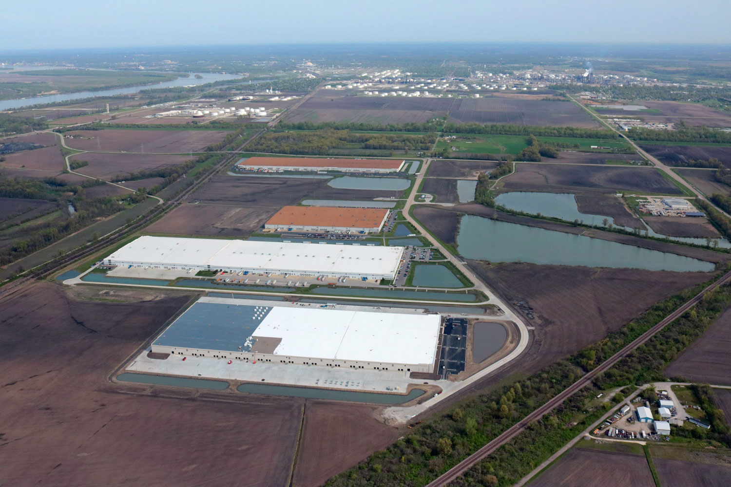
The interactive Regional Freightway map shows activity taking place at the 200-plus private terminals operating within the region’s port system. The activity is even more pronounced at 16 of these barge-transfer facilities concentrated in a 15-mile stretch of the Mississippi River that has gained recognition as the Ag Coast of America. At total capacity, these facilities can handle more than 150 barges a day – the highest level of capacity anywhere along the Mississippi River.